
Altitude gained: 396m Departing from Moshi a 45-minute drive will take you through welcoming mountainside villages to the Kilimanjaro National Park Gate. We will patiently wait for our permits to be issued while watching the hustle and bustle of operations as many crews prepare for the journey ahead Enjoy the beautiful rainforest scenery and windy trails while your guide tells you about the local flora and fauna and natural wildlife. At these lower elevations, the trail can be muddy and quite slippery. We highly recommend gaiters and trekking poles here.
Altitude gained: 719m After a good night’s sleep and a hearty breakfast, we emerge from the rain forest and continue on an ascending path, we leave the forest behind now, the trail climbs steadily with wide views to reach the rim of the Shira Plateau. Temperatures begin to drop.
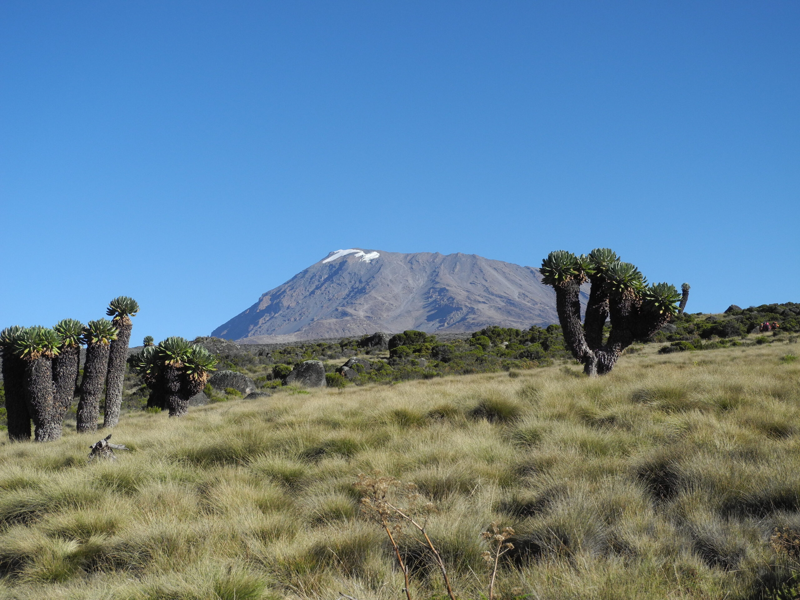
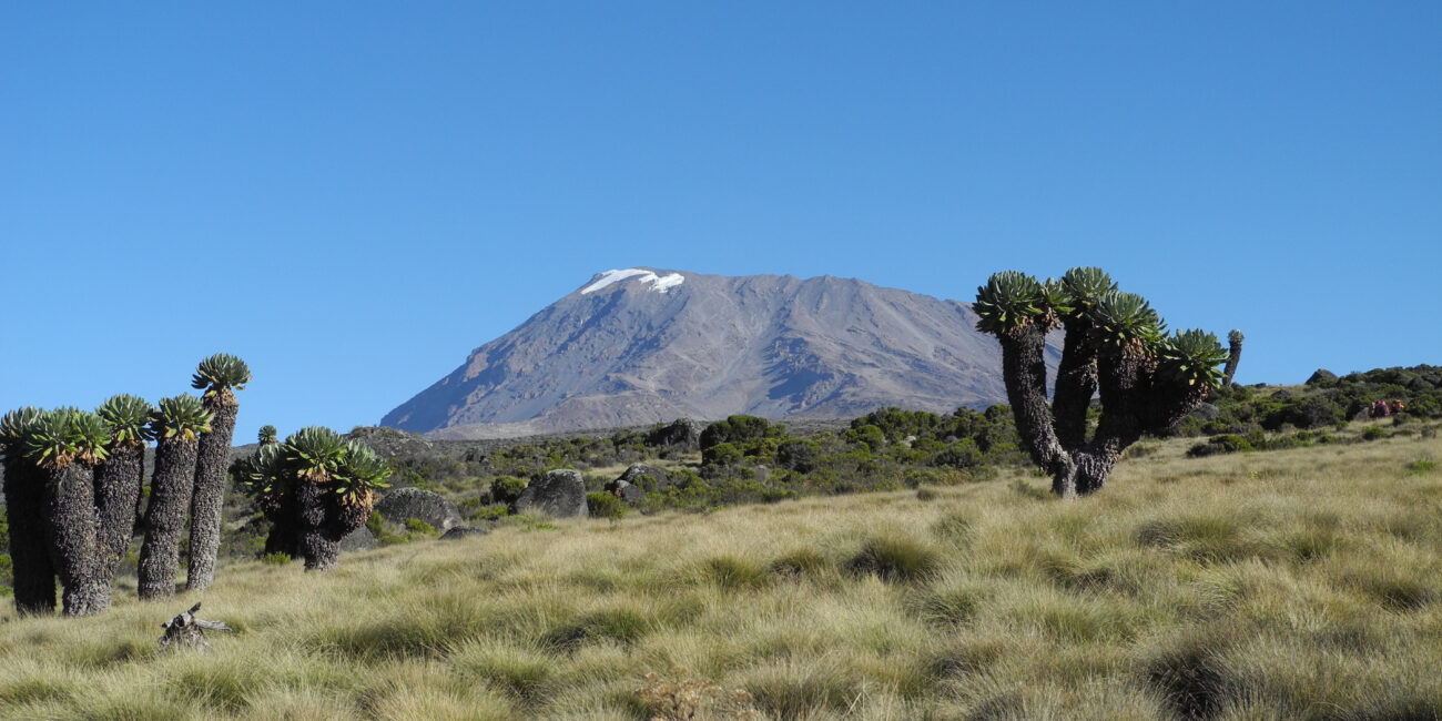
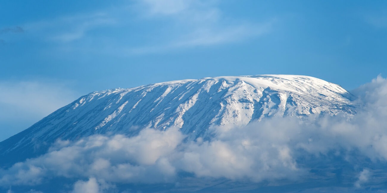
Altitude gained: 391m We explore the Shira plateau for a full day. It is a gentle walk east toward Kibo’s glaciered peak, across the plateau which leads to Shira 2 camp on moorland meadows by a stream. Then we continue to Moir Hut, a little-used site on the base of Lent Hills. A variety of walks are available on Lent Hills making this an excellent acclimatization opportunity. Shira is one of the highest plateaus on earth.
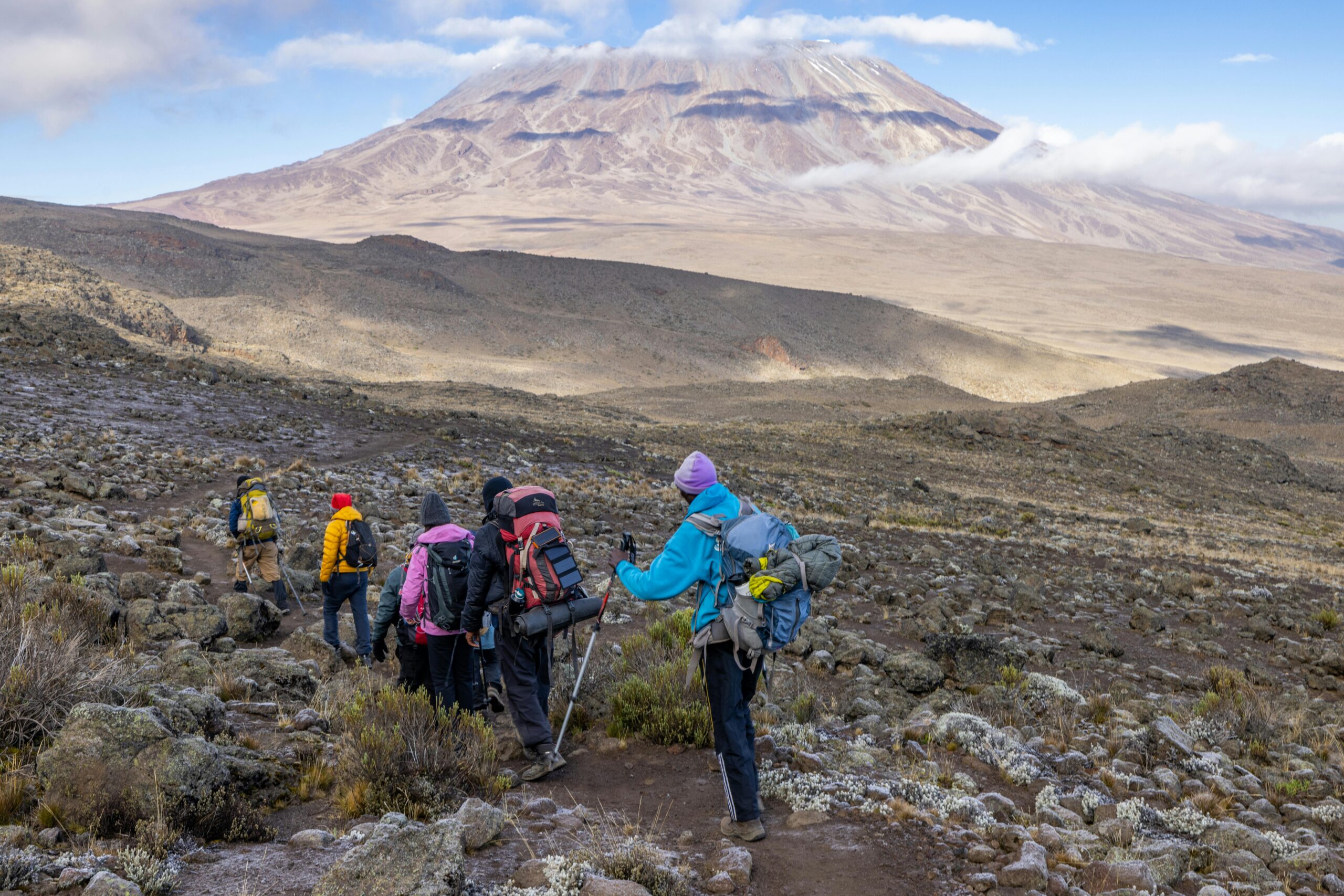
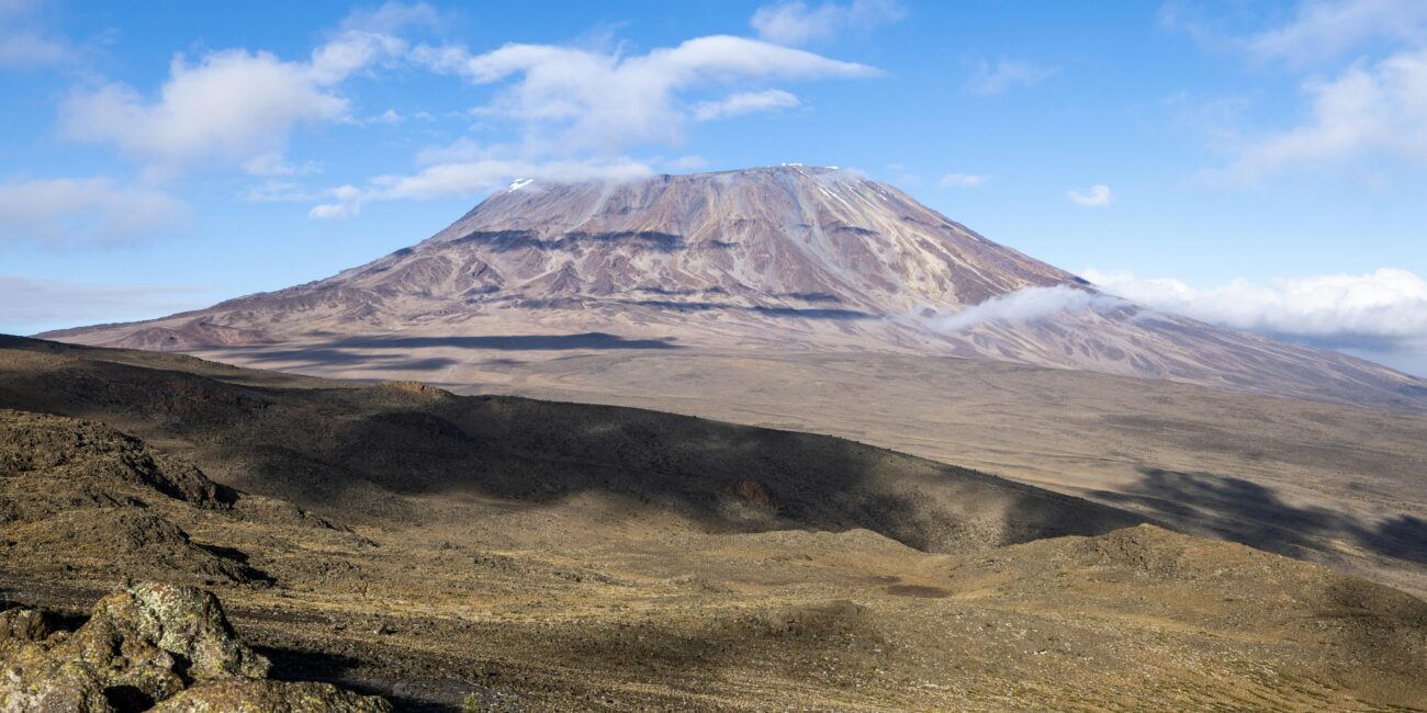
Altitude gained: 91m Although you end the day around the same elevation as when you began, this day is very important for acclimatization. From Shira Plateau we continue east up a ridge, passing the junction towards the Kibo peak before we then continue, South East towards the Lava Tower, called the “Shark’s Tooth” (elev. 4650m/15,250ft). Shortly after the tower, we come to a second junction, which leads to the Arrow Glacier. We then continue to descend to overnight at Barranco Camp.
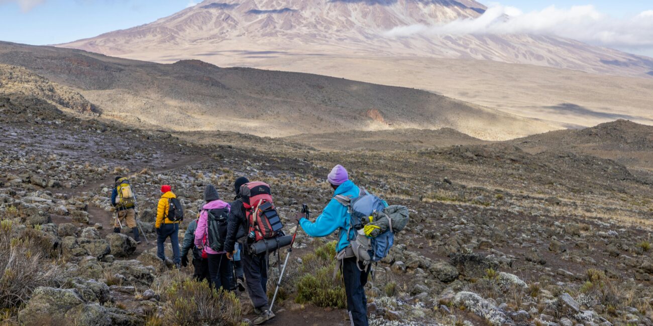
Altitude gained: 48m After breakfast, we continue on a steep ridge up to the adventurous Barranco Wall to the Karanga Valley and the junction, which connects, with the Mweka Trail. This is one of the most impressive days to see the power, agility, and strength of your crew zip over this wall with what appears such ease. Overnight at Karanga Camp.
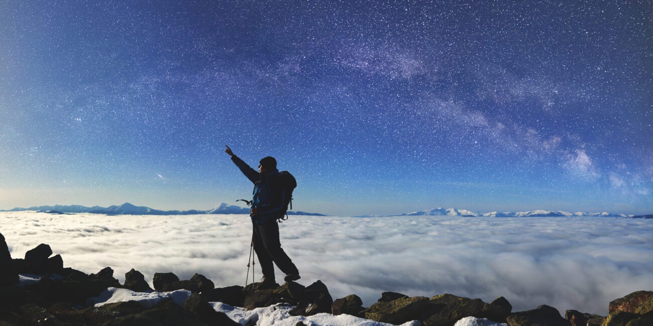
Very early in the morning (midnight to 2 Am), we continue our way to the summit between the Redman and Ratzel glaciers. You head in a northwesterly direction and ascend through heavy scree towards Stella Point on the crater rim. This is the most mentally and physically challenging portion of the trek.
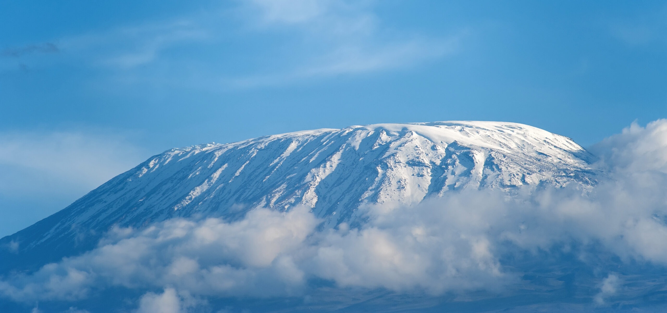
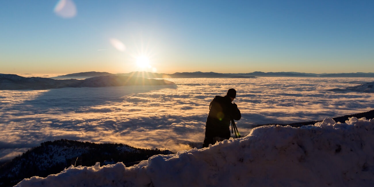
Altitude lost: 2789m Excitement is building as morning comes with an early start between midnight and 2 a.m. This is the most mentally and physically challenging portion of the trek. We continue our way to the summit between the Rebmann and Ratzel glaciers trying to stay warm and focused on the amazing sense of accomplishment that lies ahead. With a switchback motion in a north-westerly direction and ascend through heavy scree towards Stella Point on the crater rim. You will be rewarded with the most magnificent sunrise during your short rest here. Faster hikers may view the sunrise from the summit. From here on your remaining 1-hour ascent to Uhuru Peak, you are likely to encounter snow all the way.
Altitude lost: 1473m After breakfast and a heartfelt ceremony of appreciation and team bonding with your crew, it’s time to say goodbye. We continue the descent down to the Mweka Park Gate to receive your summit certificates. As the weather is drastically warmer, the terrain is wet, muddy and steep and we highly recommend Gaiters and trekking poles.